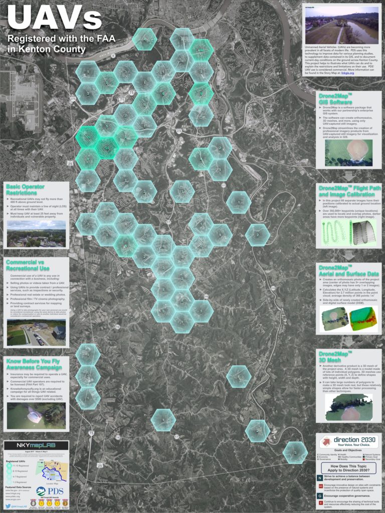
Unmanned aerial vehicles (UAVs) are becoming more prevalent in all facets of modern life. PDS uses this technology to improve data for various planning studies, to supplement data contained in its GIS, and to document current-day conditions on the ground across Kenton County.
PDS is producing this mapLAB project to illustrate what UAVs can do and to explain the restrictions and limitations on their use in Kenton County. The agency does not use the term ‘drone’ because of its use in military applications.
The Federal Aviation Administration (FAA) regulates air space across the United States and administers restrictions on any aircraft—including UAVs—that operate in that air space. UAVs are typically classified as either commercial or recreational (personal) vehicles; PDS’ use is considered commercial. Each classification has its own operating guidelines but some basic restrictions apply to both:
- Recreational UAVs may not fly more than 400 feet above ground level.
- Operators must maintain a line of sight (LOS) at all times with their UAVs.
- Operators must keep their UAVs at least 25 feet away from individuals and vulnerable property.
Differentiating between commercial and recreational uses is important for complying with FAA regulations. In general, commercial UAV use is any use connected with a business, including but not limited to:
- Selling photos or videos taken from a UAV.
- Using UAVs to provide professional or contracted services, such as inspections or security.
- Using a UAV to create professional real estate or wedding photography.
- Using a UAV to create professional cinema photography for film or television.
- Using a UAV to contract services for mapping or land surveys.
Recreational UAV use is any use for personal interests and enjoyment. For example, using a UAV to take photographs for your own personal use is considered recreational.
Other basics that all operators should consider can be found at knowbeforeyoufly. These include:
- Insurance – insurance may be required to operate your UAV, especially for commercial uses.
- License – commercial UAV operators are required to be licensed (FAA Part 107).
- Liability – you are required to report UAV accidents causing over $500 in damages.
- Know Before You Fly – Knowbeforeyoufly is an educational campaign for all things UAV related.
This project will also look at ‘Drone2Map,’ a software package that works with the LINK-GIS system. The software can create orthomosaics, 3D meshes, and more in ArcGIS using drone-captured still imagery. Drone2Map for ArcGIS streamlines the creation of professional imagery products from UAV-captured still imagery for visualization and analysis.
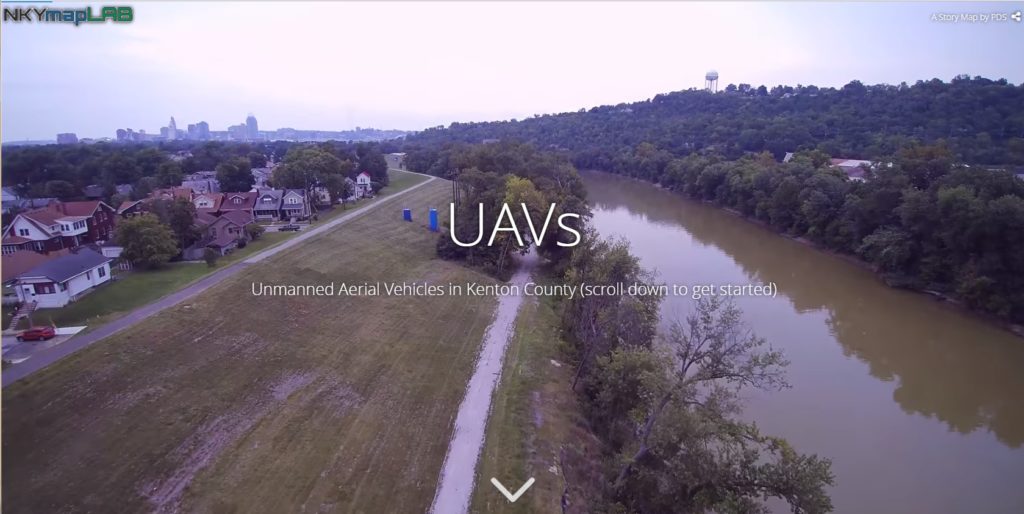
POSTSCRIPT: The Story Map of which this illustration is a part may be found here. By the end of this Story Map experience, viewers will have a better understanding of the use of UAVs in Kenton County.