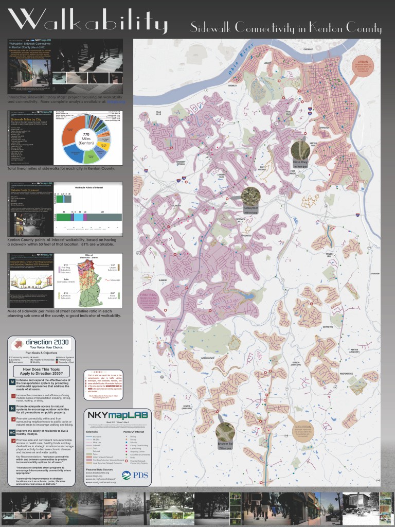
In general terms according to Wikipedia, walkability “is a measure of how friendly an area is to walking. Walkability has many health, environmental, and economic benefits. Factors influencing walkability include the presence or absence and quality of footpaths, sidewalks or other pedestrian rights of way, traffic and road conditions, land use patterns, building accessibility, and safety, among others.
As the term is used here, walkability focuses on points of interest (churches, schools, shopping centers, city buildings, libraries, parks, and dining locations)that are within 50 feet of a sidewalk. The 50-foot distance is measured from the nearest sidewalk to the property line of the point of interest.
LINK-GIS built and maintains a sidewalk data layer as a part of its massive geographic information system. Kenton County today includes over 770 miles of sidewalks.
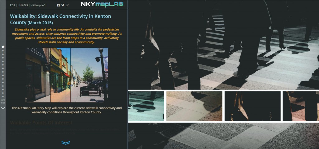
POSTSCRIPT: The Story Map of which this is a part may be found here. By the end of this Story Map experience, viewers will have a better understanding of Kenton County’s sidewalk network. This includes sidewalk locations, sidewalk connectivity, the walkability of common locations, pedestrian safety issues, how speed limits and crosswalks interact, what projects are underway to improve the pedestrian experience, locations of opportunities to improve the sidewalk network and thereby increase connectivity, and where regulated and un-regulated crosswalks are located throughout the county.