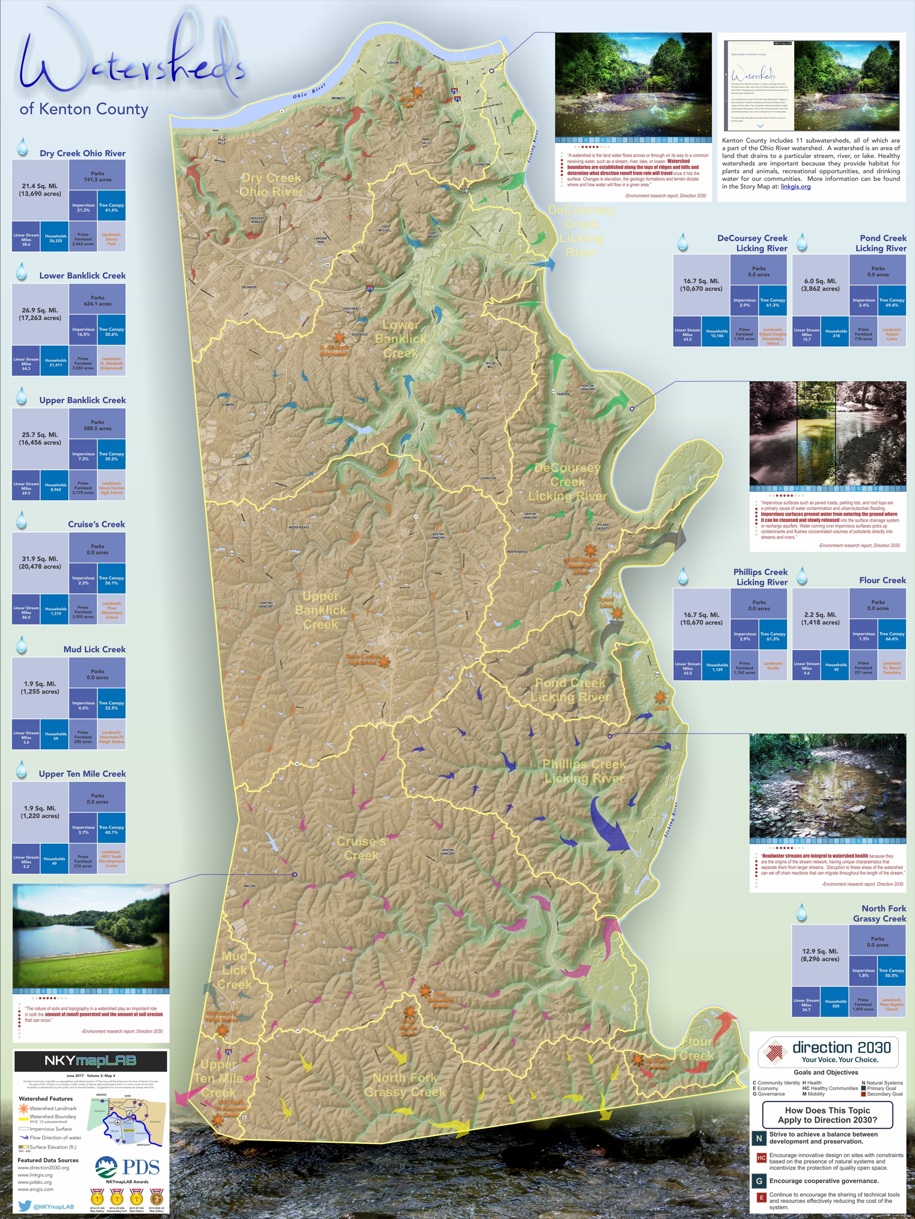
Watersheds are areas of land that drain to a particular stream, river, or lake. They can also be called drainage basins or catchments. Watersheds are separated by ridges and hills that are called divides. A watershed consists of surface water—lakes, streams, reservoirs, and wetlands—and all the underlying ground water.
The Ohio River Watershed spans 13 states, covering 203,940 square miles that include all of Kenton County. More than 25 million people live within its drainage area.
Healthy watersheds are important because they provide habitat for plants and animals and recreational opportunities, drinking water, and aesthetic beauty for our communities. Streams and creeks flow downhill without regard for political boundaries. By using watershed’s natural boundaries, issues concerning flooding, stormwater runoff, and water pollution are addressed from within the contributing area.
The United States Geological Survey (USGS) created a hierarchical system of hydrologic units. Each unit is assigned a unique Hydrologic Unit Code (HUC), from 2 to 12 digits long; they are called regions, subregions, basins, subbasins, watersheds, and subwatersheds.
This Story Map and the accompanying interactive map explores Kenton County’s 12-digit HUC subwatersheds. Arrows are color-coded to show the subwatersheds along with the flow direction of surface water.
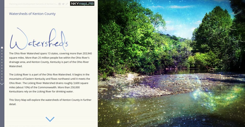
POSTSCRIPT: The Story Map of which this illustration is a part may be found here. By the end of this Story Map experience, viewers will have a better understanding of the watersheds in Kenton County.