In 2015 the American Fitness Index ranked the Cincinnati metro area (which includes Kenton County) as the 16th most fit area in the United States. This ranking was based on a combination of the area’s health behaviors, health problems, built environment, and recreational facilities. The complete 2015 American Fitness Index report can be viewed here. The Cincinnati Metro-specific portion—which offers insights into what our area is doing well, and where we can improve—can be viewed here.
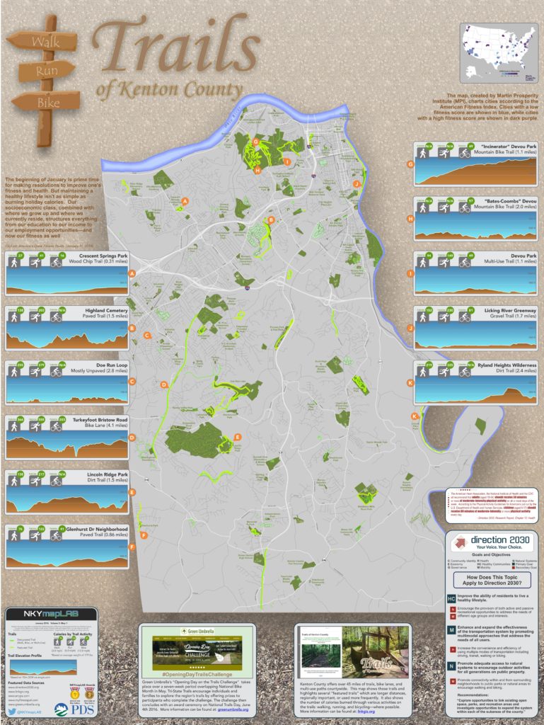
January offers a great opportunity to make resolutions that improve overall health and fitness. Kenton County’s trails offer a great venue in which to accomplish those resolutions. There are over 45 miles of trails, bike lanes, and multi-use paths countywide. This map shows those trails and highlights several “featured trails” which are longer distances, regionally important, or used more frequently.
It also shows the number of calories burned through various activities on the trails: walking, running, and bicycling—where possible. These calorie calculations are based on a person weighing 179 pounds, the average weight of a person in the U.S. Calorie expenditures by activity and body weight can be refined further using information provided here.
Additionally, this map shows elevation profiles of several featured trails to give users a “before you start” idea of the trail’s difficulty level. These elevation profiles have all been normalized to a 300-foot elevation chart, meaning that elevation profiles can be compared to one another.
Finally, this map and its online interactive Story Map can be used for Green Umbrella’s “Opening Day on the Trails Challenge.” The Trails Challenge takes place over a seven-week period overlapping National Bike Month in May. Tri-State Trails encourage individuals and families to explore the region’s trails by offering prizes to participants who complete the challenge. The challenge concludes with an award ceremony on National Trails Day, June 4. See more details here.
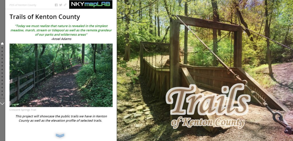
POSTSCRIPT: The Story Map of which this map illustration is a part may be found here. By the end of this Story Map experience, viewers will have a better understanding of the Trails of Kenton County.


