Plan4Health
Solar energy is harnessed radiant sunlight and heat from a range of ever-evolving technologies. These include solar heating, photovoltaics, solar thermal energy, solar architecture, and artificial photosynthesis. Solar photovoltaic panels (PV panels) are what most people think of when they hear the term solar power. PV panels are usually installed on the roof of a structure in order to capture as much solar energy as possible. Solar energy is the most abundant energy resource on earth – 173,000 terawatts of solar energy strike the Earth continuously. That’s more than 10,000 times the world’s current total energy use. (Wikipedia.com)
As prices continue to fall, solar energy is becoming an increasingly economical energy choice for American homeowners and businesses. The U.S. Energy Department’s SunShot Initiative works to drive down costs – making it faster and more affordable for families and businesses to go solar.
To help homeowners in the metro area determine if solar would be feasible for their homes, OKI launched an online interactive Solar Map recently. This project was funded by a grant from the U.S. Department of Energy’s SunShot Initiative. The Solar Map provides information about the solar potential of buildings in the Greater Cincinnati region. The term ‘solar potential’ includes usable roof space, kWh of electricity generated, and annual cost savings.
This NKYmapLAB project explores the solar potential in Kenton County. It identifies the total solar potential of Kenton County as a whole, the solar potential of individual cities, and the solar potential of city- and county-owned buildings. Finally, this project identifies the five areas of the county that have the most solar potential, and what the key assumptions are in determining solar potential.
In 2014, the Kenton County Plan4Health Coalition was awarded a grant from the American Planning Association in order to work toward providing better access to nutritious food across the county. These efforts include a county-wide assessment of under-served neighborhoods in addition to a series of actions addressing affordability of, and access to, healthy food.
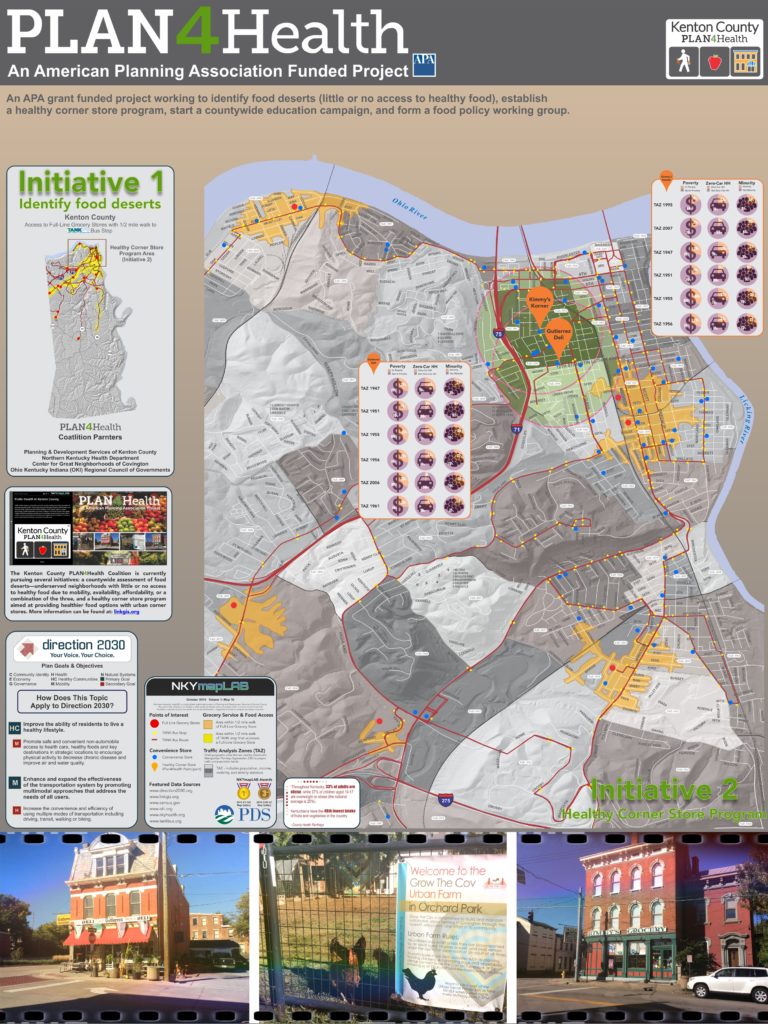
The image below represents the poster sized map of this project. There is also a companion Story Map, complete with interactive maps, narrative text, images and multimedia content.
The Kenton County PLAN4Health Coalition (KCP4H) is a partnership of several agencies in Kenton County, working to provide access to nutritious food across the county. The Kenton County PLAN4Health Coalition includes PDS, the Northern Kentucky Health Department, the Center for Great Neighborhoods of Covington, and the Ohio Kentucky Indiana (OKI) Regional Council of Governments.
The Kenton County PLAN4Health Coalition is currently pursuing 4 initiatives: (1) a countywide assessment of food deserts—underserved neighborhoods with little or no access to healthy food due to mobility, availability, affordability, or a combination of the three; (2) a healthy corner store program aimed at providing healthier food options with urban corner stores; (3) a countywide outreach campaign to educate member of the public about healthy food options and; (4) forming a food policy working group in Kenton County to pursue future work related to food access.
The map shown below demonstrates the progress made on the first two initiatives listed above.
The grant will be fully implemented by April 2016.

POSTSCRIPT: The Story Map of which this map illustration is a part may be found here. By the end of this Story Map experience, viewers will have a better understanding of the work being completed by the Kenton County Plan4Health coalition.

As prices continue to fall, solar energy is becoming an increasingly economical energy choice for American homeowners and businesses. The U.S. Energy Department’s SunShot Initiative works to drive down costs – making it faster and more affordable for families and businesses to go solar.
To help homeowners in the metro area determine if solar would be feasible for their homes, OKI launched an online interactive Solar Map recently. This project was funded by a grant from the U.S. Department of Energy’s SunShot Initiative. The Solar Map provides information about the solar potential of buildings in the Greater Cincinnati region. The term ‘solar potential’ includes usable roof space, kWh of electricity generated, and annual cost savings.
This NKYmapLAB project explores the solar potential in Kenton County. It identifies the total solar potential of Kenton County as a whole, the solar potential of individual cities, and the solar potential of city- and county-owned buildings. Finally, this project identifies the five areas of the county that have the most solar potential, and what the key assumptions are in determining solar potential.
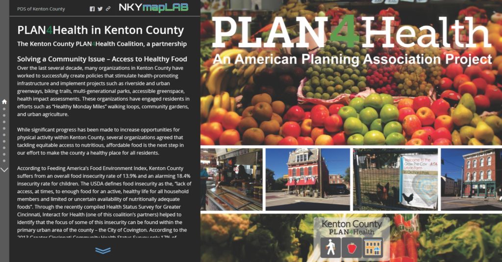
Click on the image above to view the Kenton County Plan4Health Coalition Story Map.

Click the logo for more information about the implementation of Direction 2030.


