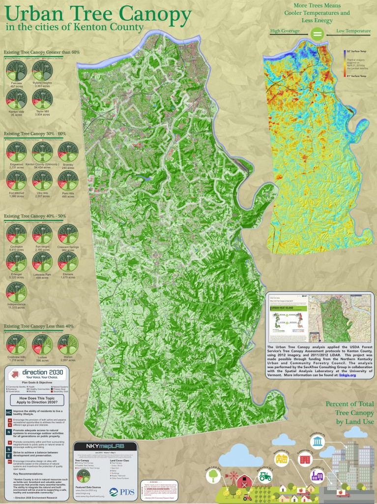
The Northern Kentucky Urban and Community Forestry Council engaged SavATree Consulting Group in collaboration with the Spatial Analysis Laboratory at the University of Vermont to perform an ‘Urban Tree Canopy Assessment’ for Boone, Kenton, and Campbell Counties in 2014. The Council’s goal was to apply the USDA Forest Service’s Tree Canopy Assessment protocols to three county Northern Kentucky area. The analysis was conducted using aerial imagery acquired in 2012 and LiDAR acquired in 2011 and 2012. (LiDAR is an optical remote-sensing technique that uses laser light to densely sample the surface of the earth, producing highly accurate measurements).
Seven classes of land cover were mapped: (1) tree canopy; (2) grass/shrub; (3) bare earth; (4) water; (5) buildings; (6) roads; and, (7) other paved surfaces. This land cover dataset is considered current as of summer 2012 ground conditions.
The tree canopy is the layer of leaves, branches, and stems of trees that cover the ground when viewed from above. Tree canopy provides many benefits to communities, improving water quality, saving energy, lowering summer temperatures, reducing air pollution, enhancing property values, providing wildlife habitat, facilitating social and educational opportunities, and providing aesthetic benefits. In urban areas, the urban tree canopy is a combination of individual trees, parks and greenspace, trees lining streets, small remnants of woods, and forest in an urban developed area.
A tree canopy assessment is the first step in urban forest planning, providing estimates for the amount of tree canopy currently present in an area as well as the amount of new tree canopy that could theoretically be established. (Text from the Northern Kentucky Urban and Community Forestry Council’s Tree Canopy Assessment.)
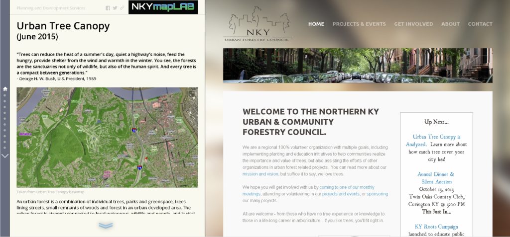
POSTSCRIPT: The Story Map of which this map illustration is a part may be found here. By the end of this Story Map experience, viewers will have a better understanding of urban tree canopy conditions throughout Kenton County.


