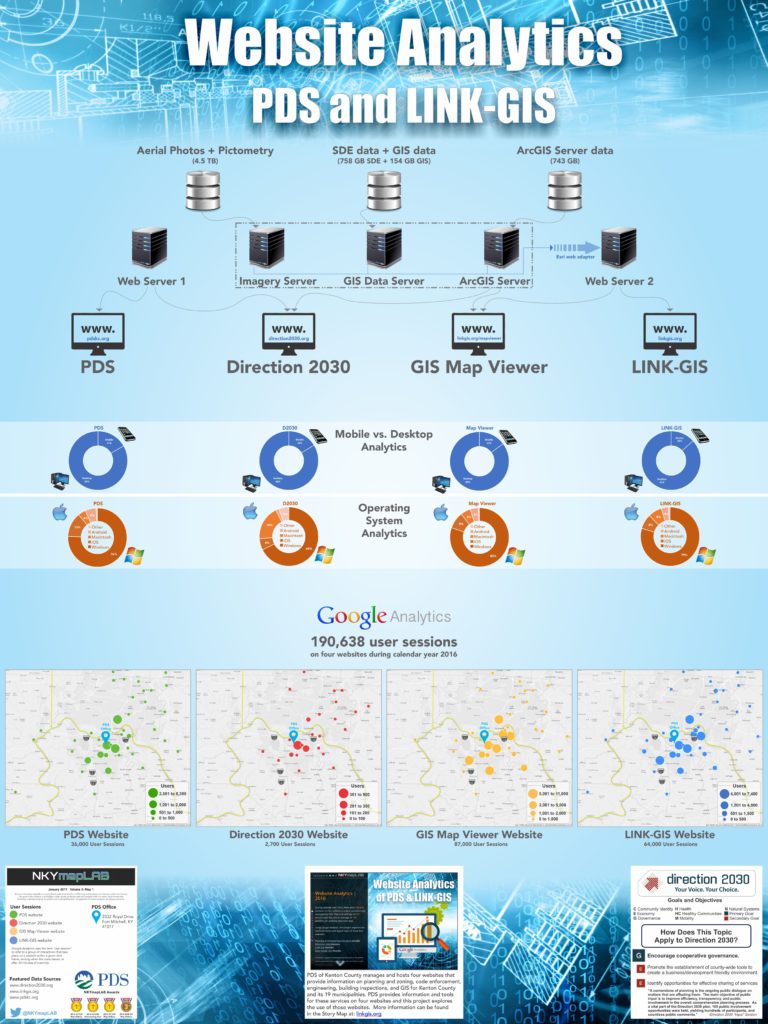
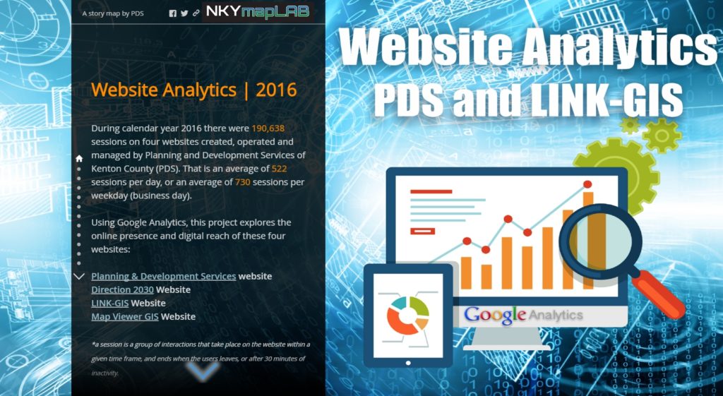
PDS of Kenton County manages and hosts four websites that provide information on planning and zoning, code enforcement, engineering, building inspections, and GIS for Kenton County and its 19 municipalities. Combined, these websites had over 190,000+ user sessions* during calendar year 2016. PDS staff used Google Analytics to examine this number and the geographic locations from which they originated.
The websites included are:
- Planning & Development Services is the flagship website providing overall information about the agency;
- Direction 2030 is the award-winning website that constitutes the Kenton County comprehensive plan;
- LINK-GIS is the website providing access to the GIS and geospatial data developed over the past 30 years; and
- GIS Map Viewer is a single interactive map within the LINK-GIS website that allows users to interact with data layers and aerial photos.
The 190,000+ user sessions provided public access to over 7TB (terabytes) of data and information that include:
- GIS data such as parcels, buildings, streets, and addressing data;
- aerial photos spanning the years 1962 through 2014;
- oblique photos that provide 45° viewing angles of building from all 4 sides;
- LiDAR data that forms the basis of topography data and building height data; and
- topographic data that include contour lines and base elevation data.
Over the course of the year, 190,000+ sessions average to 522 user sessions per calendar day and 730 user sessions per PDS business day (weekday).
Use of the PDS websites is concentrated primarily in the three-state metropolitan Cincinnati area. Regional usage maps have been created for each website. There is also an online interactive version of each map that users can explore further.
POSTSCRIPT: The Story Map of which this illustration is a part may be found here. By the end of this Story Map experience, viewers will have a better understanding of PDS’ online references.


