
Navigation Controls
On the left side of the LINK-GIS map viewer, there are navigation controls. Hover your mouse over them to see their names.
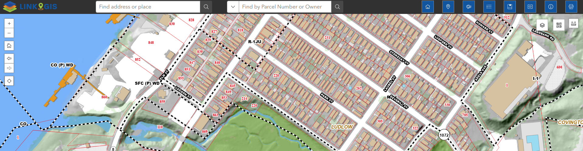
Starting at the top, there are + and – buttons to zoom in to and out from the center of the map.
The next button down, that looks like a house, is the Default extent button. Clicking the Default extent button will return you to the initial extent of the map, when it is first loaded.
Under the button that looks like a house, there are two arrows that will take you to previos or next extent. They appear to be washed out when you first open the LINK-GIS map viewer, however the previous extent will become darker once you start to zoom in and out.
Next extent will be available when you go to previous extents, this arrow will appear washed out again when there are no next extents to move forward.
Below the Default extent button is the Find my location button. Clicking on the Find my location button uses your current location to find the location on the map. This may require allowing your web browser to share your location or turn on location services. If your location is shared, the map viewer will zoom to your location and place a blue dot where it thinks you are located.
To pan around the map, simply click on the map then drag the map to a new position. The farthest the map will zoom out is a scale of 1:480,000 and the farthest the map will zoom in is 1:600.
