Coordinate Widget
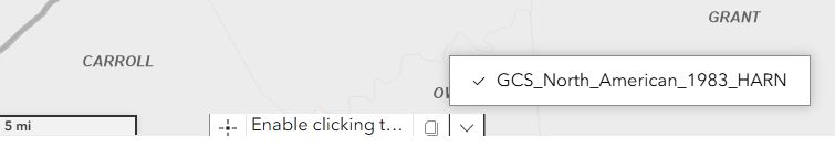
At the bottom of the LINK-GIS map viewer, the coordinates of the mouse position on the map are shown. By default, the State Plane coordinates, “GCS_North_American_1983_HARN,” are shown.
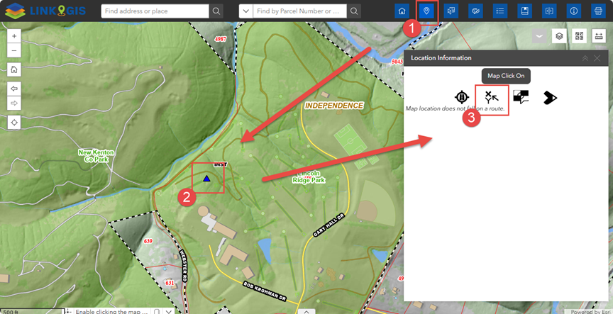
If you want to find the coordinates of a specific location, you can easily do this using the Location Information Widget.
- Locate the Widget: Look at the top right corner of the map. The Location Information Widget (Pin Drop) is the second icon from left to right. A dialog box will appear, prompting you to click on a location on the map.
- Select a Location: Click on your desired point on the map. After you do this, four new icons will appear.
- View Coordinates: Click on the second icon, which looks like an arrow pointing in the X and Y directions. This will display:
- North and East coordinates of your selected point (9 different coordinate systems are available)
- Elevation