Measure Widget
The Measurement widget is a tool for measuring distance, area or coordinates on the LINK-GIS map viewer. Open the Measurement widget by clicking the Measurement icon in the toolbar. The icon looks like a ruler.
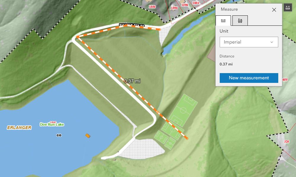
Measure By Distance
The first measurement option is the “Distance” option. Users can measure distance by selecting the “Distance” option.
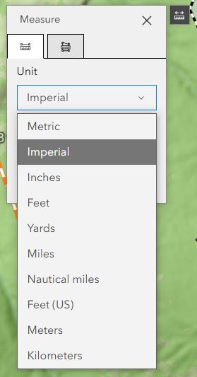
a. The option “Distance” is selected by default, you can change this option at any time. Users can choose the distance units, to be displayed, from the drop-down menu.
b. Click on the map viewer to begin drawing the distance, click once for changing the direction of the distance and double click to finish drawing the area. The total distance is displayed in the widget and on the map.
c. Once the widget is closed or another measurement option is chosen, the measurement shown in the widget will disappear. Minimizing the widget, then opening it back up will get rid of the most recent measurement.
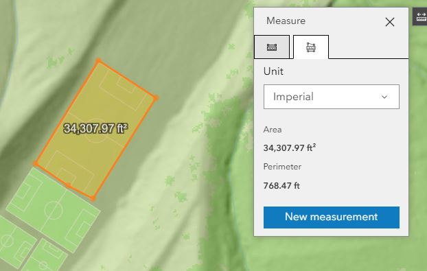
Measure By Area
The second measurement option is the “Area” option. Users can measure area by selecting the “Area” option.
a. Once “Area” is selected, choose the area units, to be displayed, from the drop-down menu.
b. Click on the map viewer to begin drawing the area and double click to finish drawing the area. Once the area is complete, the area units will display in the widget.
c. Once the widget is closed or another measurement option is chosen, the measurement shown in the widget will disappear. Minimizing the widget, then opening it back up will not get rid of the most recent measurement.