LINK-GIS Map Viewer Experience is an easy-to-use interactive map providing basic information for Campbell, Kenton and Pendleton Counties. Use the tools to explore the data, while navigating through a variety of mapping layers.
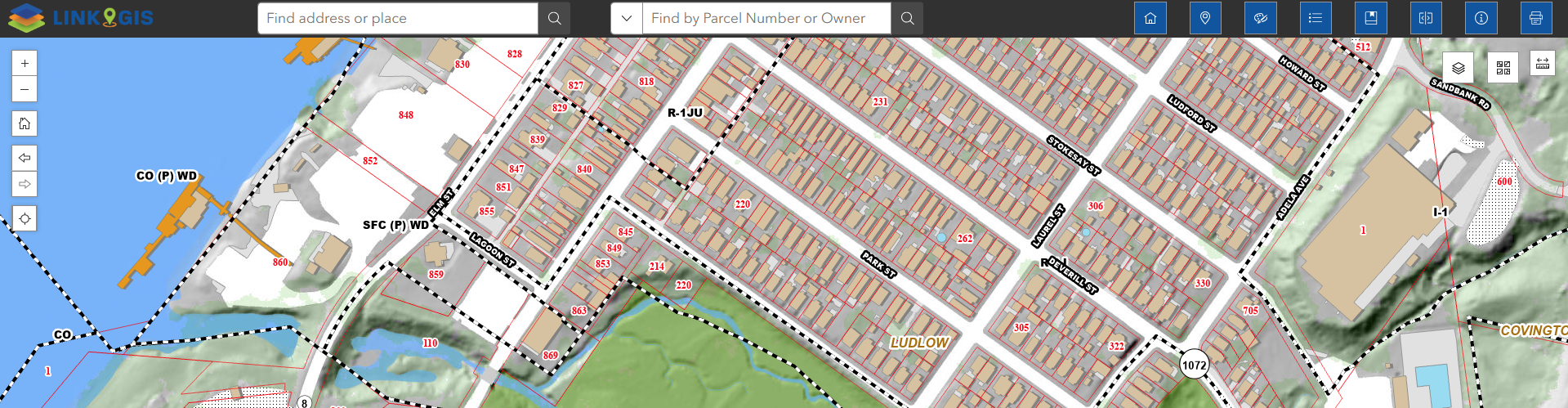

LINK-GIS Map Viewer Experience is an easy-to-use interactive map providing basic information for Campbell, Kenton and Pendleton Counties. Use the tools to explore the data, while navigating through a variety of mapping layers.
Disclaimer Regarding Information: The information is provided via this website as a public service. Please note that users are responsible for checking its accuracy, completeness, currency, and/or suitability themselves. This may require inspection of official public records housed by the individual jurisdictions involved. Read Full Disclaimer
