

 Have you ever mistakenly received someone else’s mail or had a package delivered that wasn’t yours because your address was similar to the address on the label? Does your street name end in “Drive” while another identically-named street ends in “Road”? These are just two of many addressing situations causing problems for people every day.
Addresses are important, and therefore need to be correct, unique, and easily located. Otherwise, duplications or similarities in spelling or pronunciation can confuse even the most experienced people who deal with them every day.
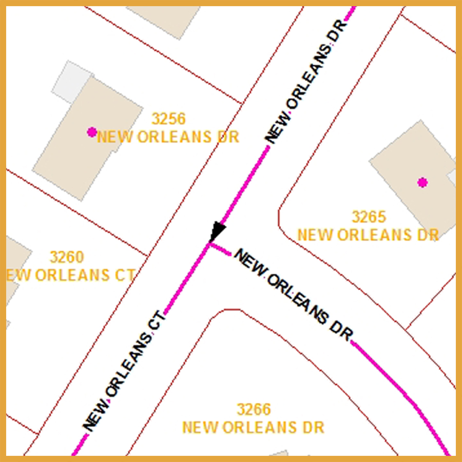
In an emergency when emotions run high, the difference between “Byrd Road” and “Bird Road” can be the difference between life and death.
“Keeping address records up to date can be frustrating because there is no single, authoritative, and comprehensive list on which to base them,” said Tom East, a senior GIS specialist with PDS. “There are dozens, if not hundreds, of address lists maintained by different agencies, organizations, and companies, each with its own unique way of recording addresses.”
These different lists typically have large numbers of addresses in common, but they will also have a smaller number of addresses that are unique to their needs and purposes, which are not likely to be found in other lists.
“Trying to collect all of a community’s unique addresses in a single location is a challenging and time-consuming task,” said East. “It’s made more difficult because these address lists rarely get shared or distributed to others to use.”
PDS staff—primarily Tom East—has built and maintained a master address database for Kenton County over the past ten years. All addresses in it have been standardized to correct road misspellings, to replace incorrect suffixes (like “Rd” instead of “Dr”), and to fix transposed numbers (like “5590” instead of “5509”) along with many other issues. The database does not contain information beyond addresses.
Staff has also standardized all addresses to meet the US Postal Service’s suggested formatting guidelines. This standard doesn’t dictate what a street is named, it just recommends a standard way to write it for improving mail delivery. Millions of companies across the US use this standard every day to provide products and services to the American public.
“We’re confident enough now with the accuracy of our data that we intend to start reaching out and sharing it with those who’ll benefit from it,” said Dennis Gordon, FAICP, Executive Director of PDS. “We’ve invested a lot of work in this project and it’s time to begin seeing a return on investment… not just for PDS and its member local governments but for all of Kenton County.”
Keeping these data up to date is a critical and never-ending job that can require hours of research and field work to verify. Changes to the database occur every day according to East.
When staff finds road names that need to be corrected, based on official records likes plats or city or county ordinances, they update the information ensuring that the data is consistent, correct, and complete.
When a new address is discovered, it is verified and then added to the database. When a house or building is torn down, the address is not deleted but is marked “Retired” if the property no longer requires it. In this way, a record of previous address is maintained.
“These changes are documented literally every day at PDS,” concluded East. “We see it as a necessity for the provision of services to citizens.”
For more information on Kenton County’s master address database, contact Tom East at 859.331.8980.