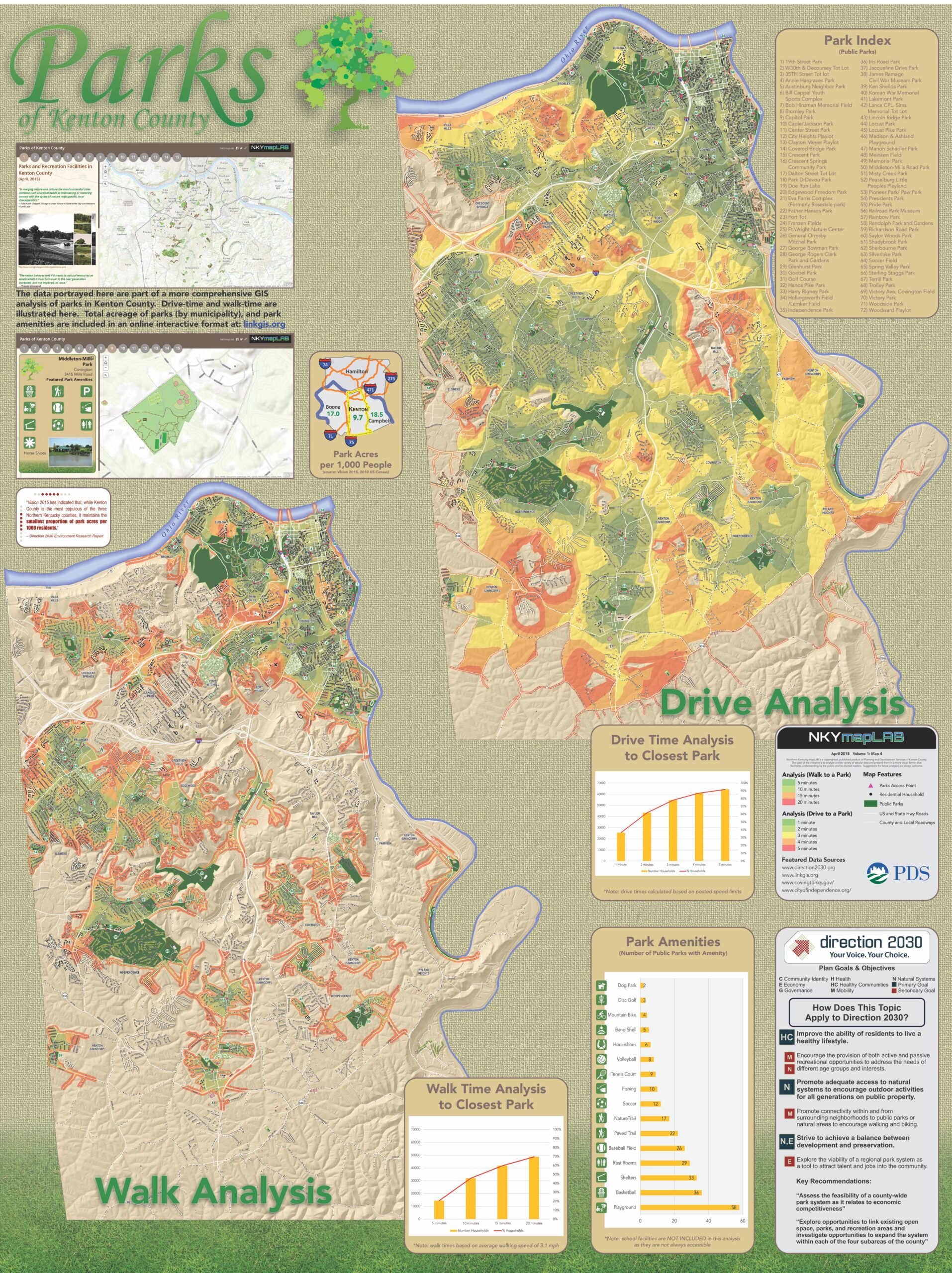
LINK-GIS Timeline
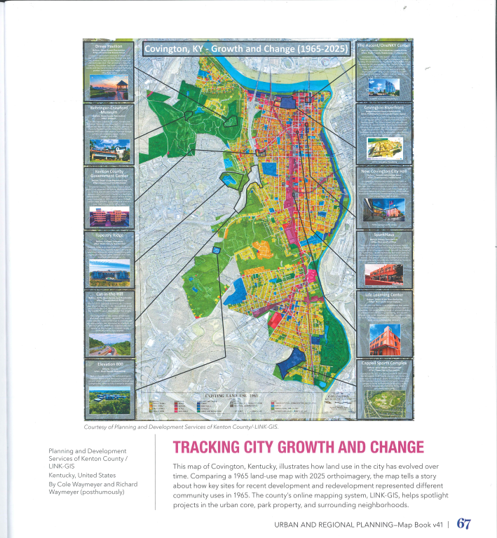
Cole Waymeyer’s map “Tracking City Growth and Change” was selected for the 2026 Esri Map Book. vol 41. It compares 1965 and 2025 land use and Ortho imagery of Covington, illustrating the city’s evolution and highlighting key sites of development and redevelopment — continuing a legacy that began with his grandfather’s 1967 award-winning map for NKAPC, the agency now doing business as PDS.
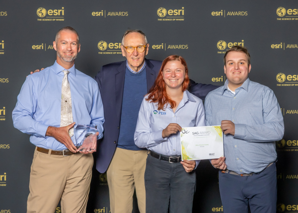
Planning and Development Services (PDS) of Kenton County, Kentucky, and the LINK-GIS consortium have been honored with a 2026 Special Achievement in GIS (SAG) Award from Esri for the PDS Development Hub Site. SAG Award recipients are nominated by Esri staff from thousands of organizations worldwide, then personally reviewed and selected by Esri President Jack Dangermond.
This award recognizes our PDS Development Hub — an online tool that gives residents, elected officials, and staff an easy, up-to-date look at development activity happening across Kenton County. What used to take our team weeks to put together by hand is now available instantly, saving time and helping us share information with the public faster and more clearly.
This recognition builds on PDS/LINK-GIS’s long-standing commitment to making GIS data more transparent, accessible, and useful — not just as a mapping tool, but as a true decision-support platform for the community.
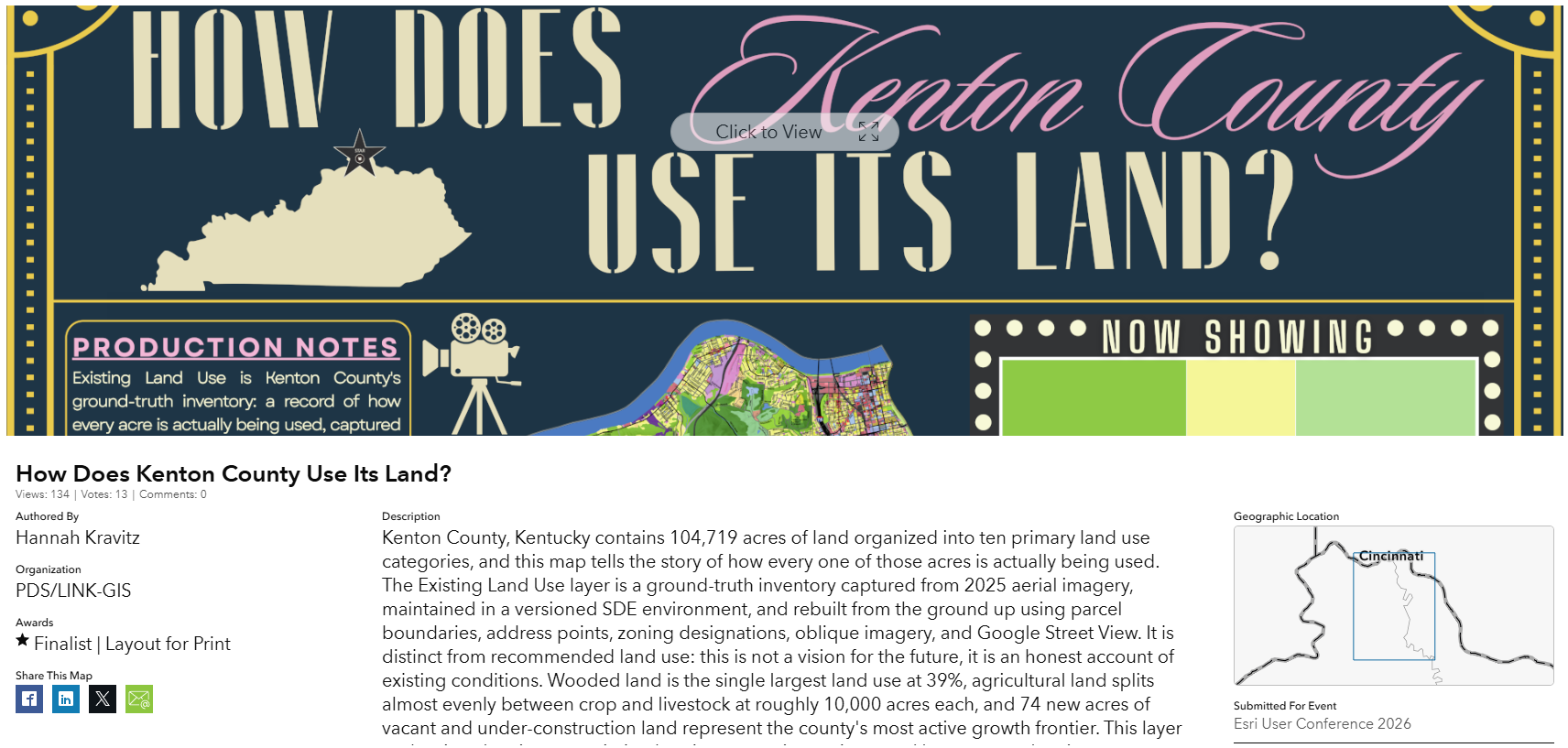
LINK-GIS was recognized by Esri in the 2026 GIS User’s conference as a Map Gallery Finalist in the Layout for Print category for Urban and Regional Planning with Hannah Kravitz’s map “How Does Kenton County Use Its Land?” and as a Finalist in the Outstanding Spatial Analysis category for Conservation – Area Management/Wildlife Environment and Natural Resources.
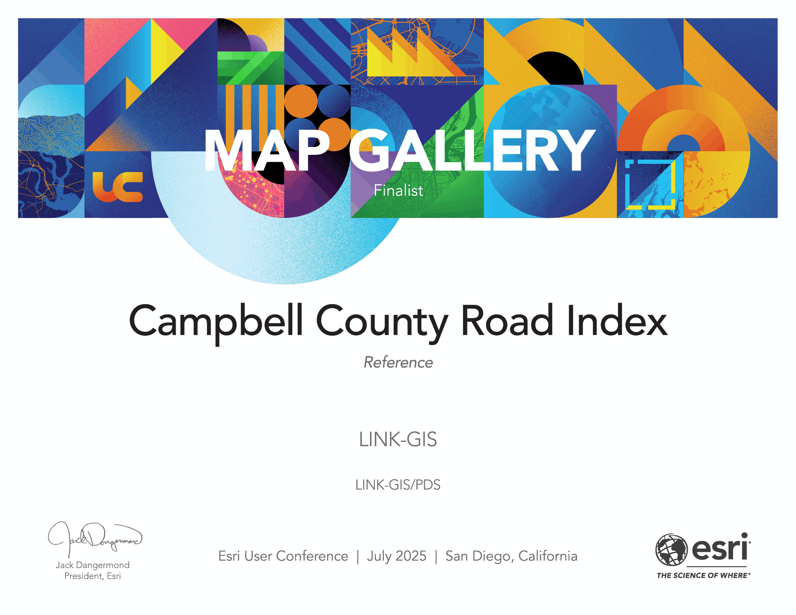
LINK-GIS was recognized by ESRI in the 2025 GIS User’s conference as a Map Gallery Finalist in the Reference category with the Campbell County Road Index map.
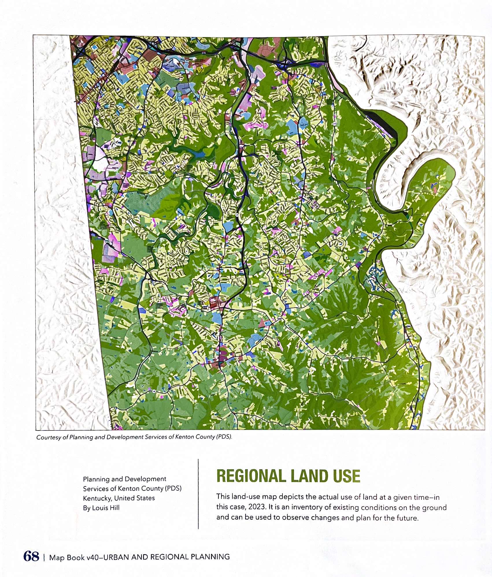
Kenton County Land Use map was selected for inclusion in ESRI Map Book, Volume 40 (2025). Highlights development patterns and supports long-term planning discussions. Result of classifying raw satellite imagery into use categories based on return values. Land use classifications may also be refined using property ownership records and other supporting data sources.
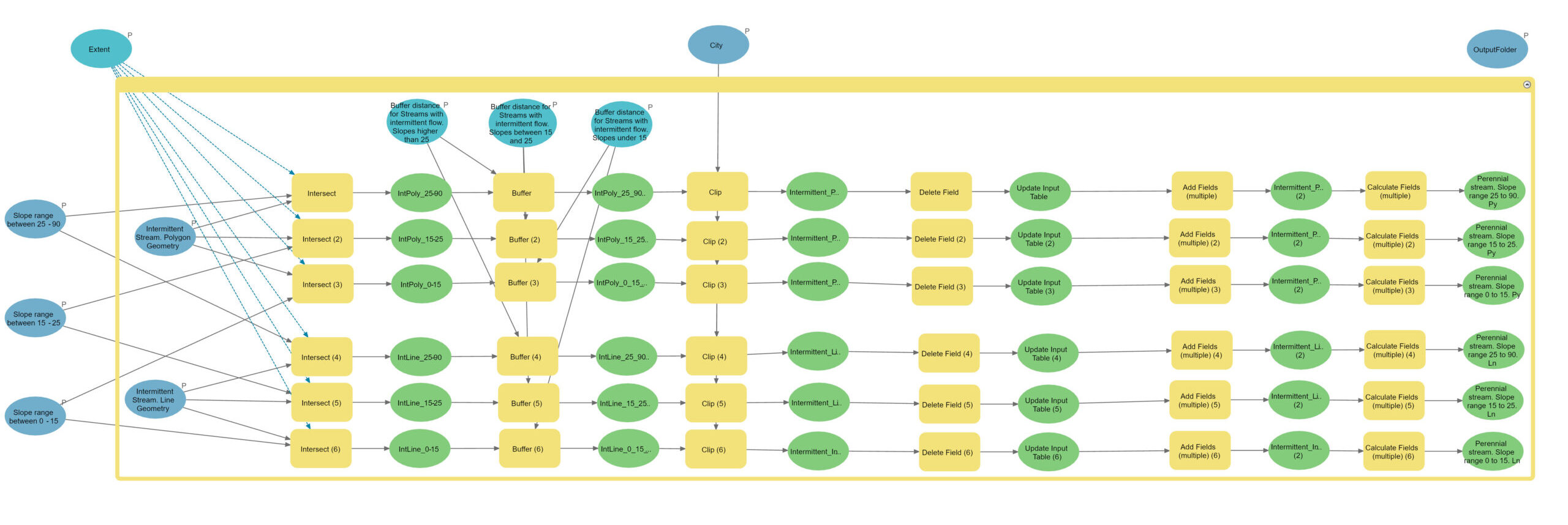
Megan and Gladys were awarded the APA-KY 2024 Award for Outstanding Use of Innovative Technology. This statewide award stems from their work analyzing Riparian Buffers for the new zoning ordinances. Their work was instrumental in communicating and visualizing the effects of new regulations so decision-makers could comprehend the impact of policy decisions.
Kenton County Land Use Zoning Development
Map | 2022 Esri Map Book (Volume 37, page 128) | Redlands, CA: Esri Press
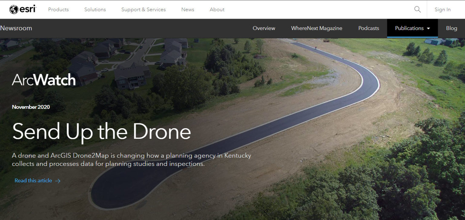
Article written by Trisha Brush, GISP, and Louis Hill, GISP, titled “Send Up the Drone” is featured in the November 2020 edition of ESRI’s online Newsroom, ArcWatch.

Ryan Hermann wins the KAMP, Service to the GIS Community, award.
Louis Hill, GISP, and Tom East, GISP, are awarded Fellow of KAMP honors (the highest honor KAMP bestows upon an individual).
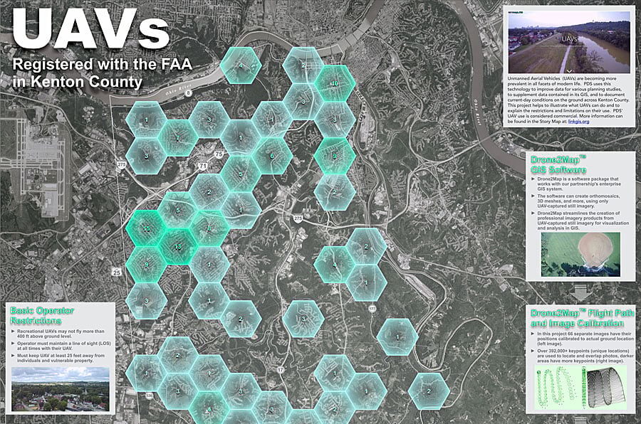
Maps Tell the Story in Kenton County in the Kentucky Chapter of the American Planning Association’s Outstanding Use of Innovative Technology award.
https://www.esri.com/about/newsroom/arcwatch/maps-tell-the-story-in-kenton-county

LINK-GIS/PDS staff members Trisha Brush and Emi Randall present at the 2017 GeoDesign Summit in Los Angeles, CA.
Article “Cultivating Relationships, Planting Ideas and Harvesting Dreams,” is published in Winter 2017 edition. ESRI’s ArcUser magazine, page 24.
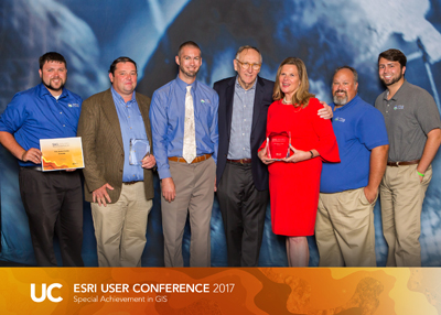
Winners of the Special Achievement in GIS (SAG) Awards; Planning and Development Services (PDS) of Kenton County, Kentucky and LINK-GIS showcase a modern, collaborative approach to GIS and planning workflows. GIS is integrated into numerous planning tasks to generate timely, focused analysis to inform local decision makers and ignite discussions on important current and long-range planning initiatives.
These initiatives are enriched by harnessing the power of dynamic web maps and other multimedia content to tell PDS’s story to the public, and also to receive feedback from the public. This creates a greater sense of transparency and accountability to the public and administration. PDS/LINK-GIS has taken a cue from Big Data, and made its data easier to analyze, visualize, and to share. This approach has helped PDS/LINK-GIS keep each plan update from sitting on the shelf. In addition, it has helped move beyond “just” printed maps to showcase GIS as an analytical tool and a solution.