
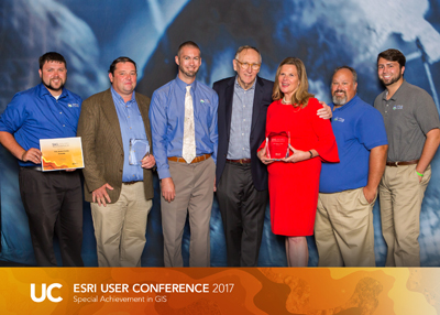
Winners of the Special Achievement in GIS (SAG) Awards; Planning and Development Services (PDS) of Kenton County, Kentucky and LINK-GIS showcase a modern, collaborative approach to GIS and planning workflows. GIS is integrated into numerous planning tasks to generate timely, focused analysis to inform local decision makers and ignite discussions on important current and long-range planning initiatives.
These initiatives are enriched by harnessing the power of dynamic web maps and other multimedia content to tell PDS’s story to the public, and also to receive feedback from the public. This creates a greater sense of transparency and accountability to the public and administration. PDS/LINK-GIS has taken a cue from Big Data, and made its data easier to analyze, visualize, and to share. This approach has helped PDS/LINK-GIS keep each plan update from sitting on the shelf. In addition, it has helped move beyond “just” printed maps to showcase GIS as an analytical tool and a solution.