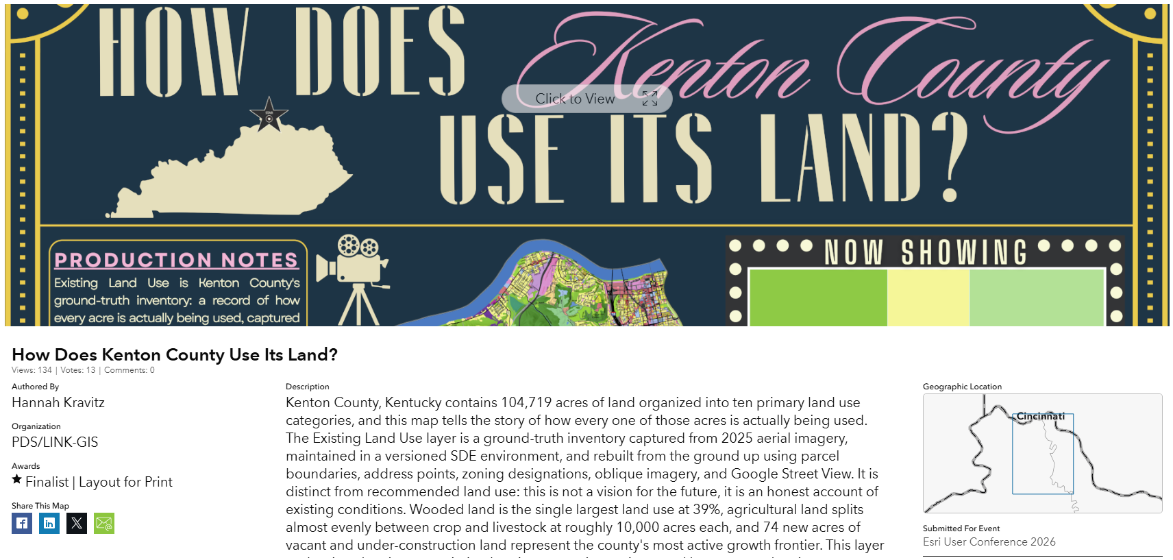
LINK-GIS was recognized by Esri in the 2026 GIS User’s conference as a Map Gallery Finalist in the Layout for Print category for Urban and Regional Planning with Hannah Kravitz’s map “How Does Kenton County Use Its Land?” and as a Finalist in the Outstanding Spatial Analysis category for Conservation – Area Management/Wildlife Environment and Natural Resources.

2026