
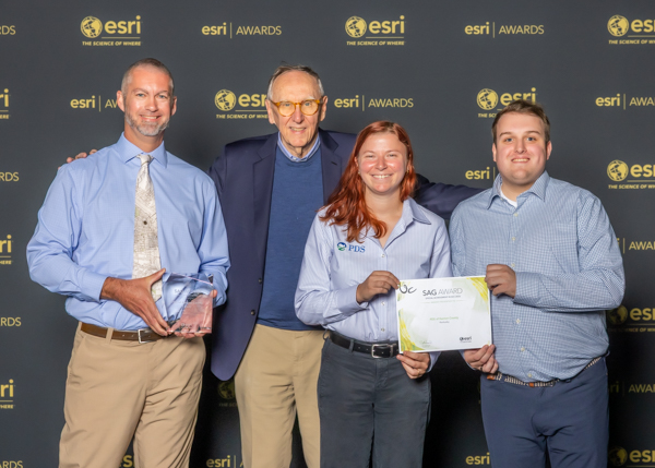
Planning and Development Services (PDS) of Kenton County, Kentucky, and the LINK-GIS consortium have been honored with a 2026 Special Achievement in GIS (SAG) Award from Esri for the PDS Development Hub Site. SAG Award recipients are nominated by Esri staff from thousands of organizations worldwide, then personally reviewed and selected by Esri President Jack Dangermond.
This award recognizes our PDS Development Hub — an online tool that gives residents, elected officials, and staff an easy, up-to-date look at development activity happening across Kenton County. What used to take our team weeks to put together by hand is now available instantly, saving time and helping us share information with the public faster and more clearly.
This recognition builds on PDS/LINK-GIS’s long-standing commitment to making GIS data more transparent, accessible, and useful — not just as a mapping tool, but as a true decision-support platform for the community.