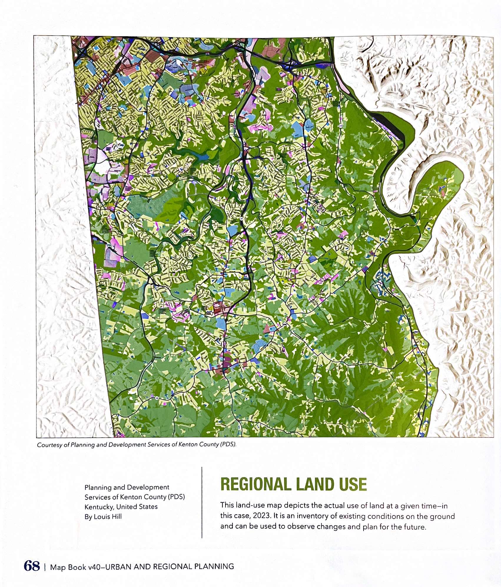
Kenton County Land Use map was selected for inclusion in ESRI Map Book, Volume 40 (2025). Highlights development patterns and supports long-term planning discussions. Result of classifying raw satellite imagery into use categories based on return values. Land use classifications may also be refined using property ownership records and other supporting data sources.

2025