• Menu
    • Home
    • Online Mapping
      • Explore the Maps
      • Metadata
    • Visit the Lab
    • Order Maps & Data
      • County-Wide Digital Data
      • Digital Data by Tile
      • Featured Maps
      • Historical Maps
      • NKYmapLAB Maps
    • Key Performance Indicators
    • How Do I…
      • Become a Business Client
      • Contact LINK-GIS
      • Find Flood Zones
      • Find My City
      • Find My Polling Location
      • Use the LINK-GIS Map Viewer
      • Use the Park Finder Map Viewer
      • Locate Sex Offenders in My Area
      • Locate Survey Monuments
      • Retrieve Zoning Information
    • About LINK-GIS
      • About LINK-GIS
      • Contact LINK-GIS
        • Frequently Asked Questions
        • Control Network Recovery
      • LINK-GIS History: Achievements, Articles and Awards
      • Partners
      • GIS Team
    • Awards
  • Menu
    • Home
    • Online Mapping
      • Explore the Maps
      • Metadata
    • Visit the Lab
    • Order Maps & Data
      • County-Wide Digital Data
      • Digital Data by Tile
      • Featured Maps
      • Historical Maps
      • NKYmapLAB Maps
    • Key Performance Indicators
    • How Do I…
      • Become a Business Client
      • Contact LINK-GIS
      • Find Flood Zones
      • Find My City
      • Find My Polling Location
      • Use the LINK-GIS Map Viewer
      • Use the Park Finder Map Viewer
      • Locate Sex Offenders in My Area
      • Locate Survey Monuments
      • Retrieve Zoning Information
    • About LINK-GIS
      • About LINK-GIS
      • Contact LINK-GIS
        • Frequently Asked Questions
        • Control Network Recovery
      • LINK-GIS History: Achievements, Articles and Awards
      • Partners
      • GIS Team
    • Awards

NKYmapLAB earns state award for use of technology in planning

June 9, 2016

NKYmapLAB_Small_LogoTwo simple goals drove initiation of PDS’ NKYmapLAB project: to illustrate the robust analytical capabilities of LINK-GIS and to use those capabilities to support Kenton County’s economic development program. As those goals are being realized now 18 months later, NKYmapLAB has also garnered top honors during this year’s awards program of the Kentucky Chapter of the American Planning Association (APA-KY).

The 2016 APA-KY Special Merit Award for Outstanding Use of Technology in Planning was given to NKYmapLAB for the project’s ongoing effort to highlight community issues and educate the public using GIS technology.

“This award is a great recognition for our team,” said Louis Hill, GISP, AICP, geospatial data analyst for PDS and project manager for NKYmapLAB. “I’d like to think that it acknowledges not only our efforts to better use technology and GIS, but also to use it in a meaningful way—one that makes our cities, our county, and our citizens better informed and more proactive.”award1

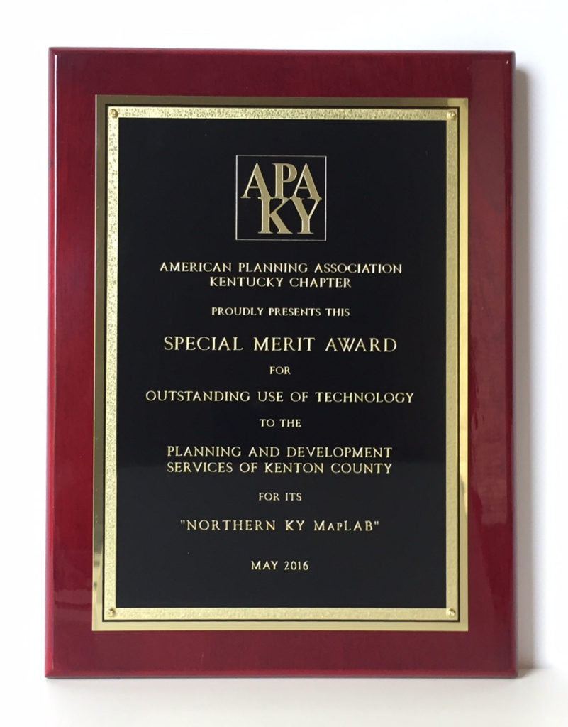
In announcing NKYmapLAB’s initiation last January, PDS’ executive director Dennis Gordon said, “We’ll soon celebrate the thirtieth anniversary of LINK-GIS’ founding. That makes it one of the oldest GIS systems in this part of the country. And, because time has a way of translating into data within these systems, LINK-GIS is a veritable treasure trove of intelligence.”

Gordon went on then to say that he was banking that when the community is exposed to ongoing examples of GIS analytics, more people will come to appreciate what PDS and its partners have built for the community. Somewhat prophetically, he also asserted that outside interests would come to recognize NKYmapLAB’s capabilities.

Some of the topics covered to date by NKYmapLAB include issues as diverse as: energy efficiency; landslides; urban tree canopy; and, walkability—topics that are part of Direction 2030, Kenton County’s new cutting-edge comprehensive plan.

“There’s no secret to the fact that a geographic information system (GIS) can be one of the most potent tools a community can have in its arsenal when it comes to economic development,” said Gordon last January. “The ability to provide enormous amounts of geospatial data in short periods of time can mean the difference between winning or losing a prospect.”

LINK-GIS data have been a useful resource for recent economic development discussions being pursued by members of Kenton County Fiscal Court. Future NKYmapLAB products will begin the public awareness phase of Kenton County’s economic development program.

NKYmapLAB products may be accessed here. Contact Hill and Ryan Kent, GISP, Principal Geospatial Analyst, for more information. Suggestions for future analyses are always welcome.

LINK-GIS is an interlocal partnership made up of Kenton County Fiscal Court, SD1, the Northern Kentucky Water District, and PDS. PDS is the managing partner.

LINK-GIS News, Recognition, Technology
GIS PDS APA-KY, LINK-GIS, NKYmapLAB, Special Merit Award
Planners pick up national award for Direction 2030 plan
GIS programmer earns top honors from Toastmasters International
  • Home
  • LINK-GIS News
  • Technology
  • Recognition
  • NKYmapLAB earns state award for use of technology in planning

Recent Articles

  • Adjusted Operation Details for LINK-GIS
  • How You Can Vote in the Kenton County General Election-November 3, 2020
  • Adjusted Operation Details for LINK-GIS

Archives

  • November 2020
  • October 2020
  • March 2020
  • January 2020
  • March 2019
  • August 2018
  • June 2018
  • December 2017
  • November 2017
  • September 2017
  • August 2017
  • July 2017
  • May 2017
  • April 2017
  • March 2017
  • February 2017
  • January 2017
  • October 2016
  • August 2016
  • July 2016
  • June 2016
  • March 2016
  • December 2015
  • October 2015
  • August 2015
  • February 2015
  • December 2014
  • October 2014
  • August 2014
  • July 2014
  • May 2014
  • April 2014
  • March 2014
  • February 2014
  • December 2013
  • November 2013
  • September 2013
  • August 2013
  • May 2013
  • March 2013
  • March 2012
  • January 2012
  • December 2011
  • February 2011
  • October 2010
  • September 2010
  • August 2010
  • July 2010
  • June 2010
  • March 2010
  • February 2010
  • January 2010
  • December 2009
  • November 2009
  • October 2009
  • September 2009
  • April 2009
  • March 2009
  • October 2008
  • August 2008
  • July 2008
  • May 2008
  • April 2008
  • March 2008
  • January 2008
  • December 2007
  • October 2007
  • August 2007
  • June 2007
  • May 2007
  • April 2007
  • February 2007
  • January 2007
  • November 2006
  • October 2006
  • August 2006
  • June 2006
  • May 2006
  • April 2006
  • February 2006
  • January 2006
  • December 2005
  • September 2005
  • April 2005
  • March 2005
  • February 2005
  • October 2003

LINK-GIS Disclaimer  •  Copyright @2016  •  Planning and Development Services of Kenton County