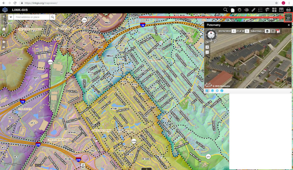
Users of the LINK-GIS map viewer can now view oblique imagery in just a couple clicks. LINK-GIS contracted with EagleView (formerly Pictometry) to fly oblique imagery for Campbell and Kenton Counties in 2018. EagleView developed a widget for use on ESRI’s Java Script API applications, as a way to view their oblique imagery in the map viewer environment. The LINK-GIS map viewer was developed using ESRI’s Java Script Web AppBuilder.
PDS staff, Joe Busemeyer and Christy Powell, installed and configured the Pictometry widget on the LINK-GIS map viewer. The widget is located in the upper right hand corner of the map viewer. Users open the widget by clicking on the Pictometry widget button. Once the Pictometry window is open, users can click on the map to see the oblique imagery for that area. According to Christy Powell, “Users of the LINK-GIS map viewer can now explore Northern Kentucky through the multi-sided views of oblique imagery, with relative ease.”
With this new technology, the power of oblique imagery is now available to all of Northern Kentucky!


