
LINK-GIS Timeline
2016
Walkability & Parks Maps published in the “ESRI Map Book Vol. 31.”
2015
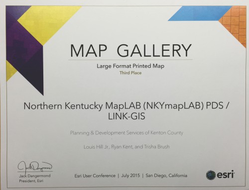
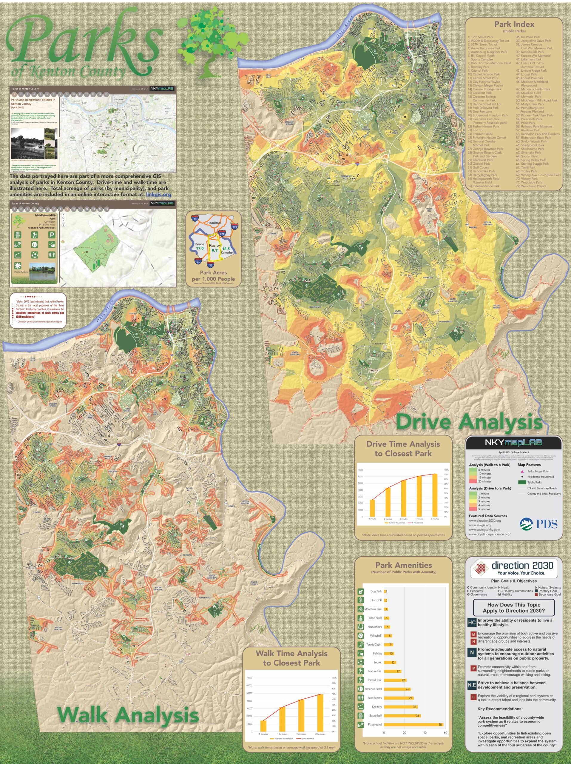
NKYmapLAB earns third place in the “large format printed map” category at the ESRI International User Conference in San Diego.
2015
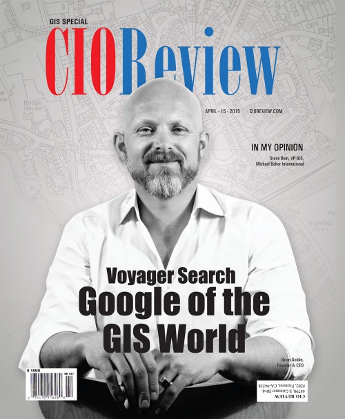
Trisha Brush, GISP, has an article published in the CIO Review magazine, April 2015, GIS Special Edition.
2015
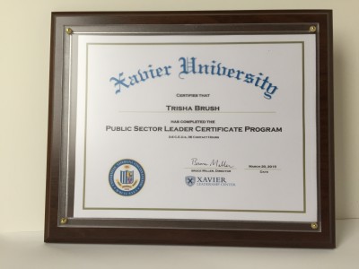
Trisha Brush, GISP, completes the Xavier University, Public Sector Leader Certificate Program.
2014
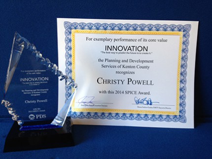
Christy Powell, GISP, receives the PDS SPICE award for Innovation for the work she did creating a bike and pedestrian count application and a building damage assessment application for emergency situations.
2014
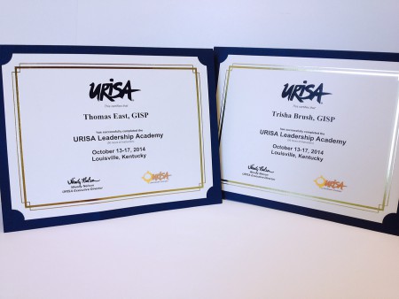
Tom East, GISP, and Trisha Brush, GISP, receive certification from URISA for completing the URISA Leadership Academy.
