
Christy Powell, GISP, wins Service to KAMP award and Ryan Kent, GISP, wins Local Government and Overall best map at the annual Kentucky GIS Conference.
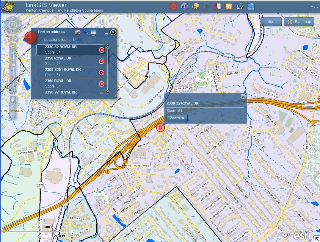
LINK-GIS’ new map viewer tool gives users access to 30+ pieces of detailed property information with a single click.
PDS’ GIS staff submits Public Safety Access Point geographic boundary data to the state, resulting in $1.1 million in funding flowing from Frankfort to E9-1-1 dispatch centers in Campbell, Kenton and Pendleton Counties.
LINK-GIS rolls out new Map Viewer, using technology allowing users to utilize the new viewer on mobile devices, as well as, the desktop environment.