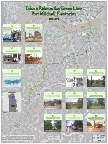
LINK-GIS staffer, Joe Busemeyer, GISP, creates a detailed map showing the history of the Green Line streetcar that ran from downtown Cincinnati to Fort Mitchell, KY. The map is featured in the opening ceremony for the ESRI International User Conference.

2009