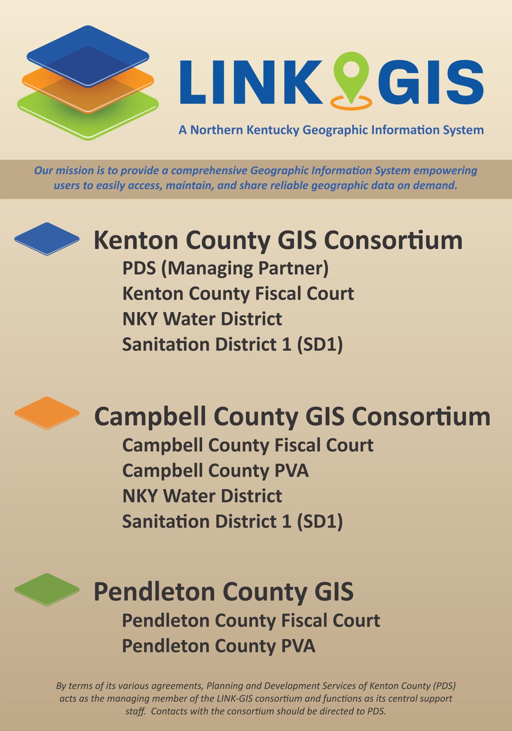
LINK-GIS is a consortium of several organizations collaborating under KRS65.240 to meet the GIS & mapping needs of their business operations. Contributing members include the following.
Managing Member:
By terms of its various agreements, Planning and Development Services of Kenton County (PDS) acts as the managing member of the LINK-GIS consortium and functions as its central support staff. Contacts with the consortium should be directed to PDS.
Our Mission:
Our mission is to provide a comprehensive Geographic Information System empowering users to easily access, maintain, and share reliable geographic data on demand.
UC Geography Class Presentation 2024: link
Esri 2022 UC Presentation (Z21): link


